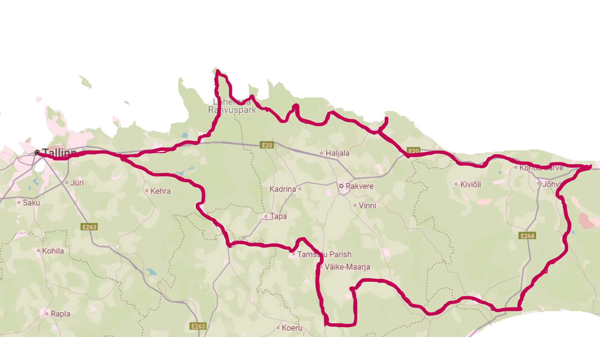
Welcome to an adventure that takes you from Estonia’s oldest national park, Lahemaa, to its youngest, Alutaguse! Our 500 km long Klint Road invites you to enjoy breathtaking views, stunning landscapes, and unique nature.
This journey is ideal for at least four days, open all year round, and perfect for cycling or public transport travel—larger cities are bypassed so you can fully immerse yourself in nature!
Our approach is sustainable—we recommend eco-certified local service providers and care for the environment.
Klint Road starts and ends in Tallinn, passing through Virumaa’s breathtaking landscapes, where you can experience clifftop views, waterfalls carving through limestone, Lahemaa’s sandy beaches and giant boulders, Alutaguse’s forests and bogs, the beauty of Lake Peipus, and the mystery of southern Virumaa.
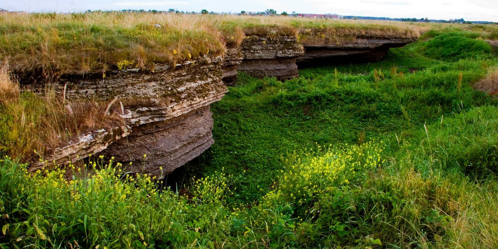
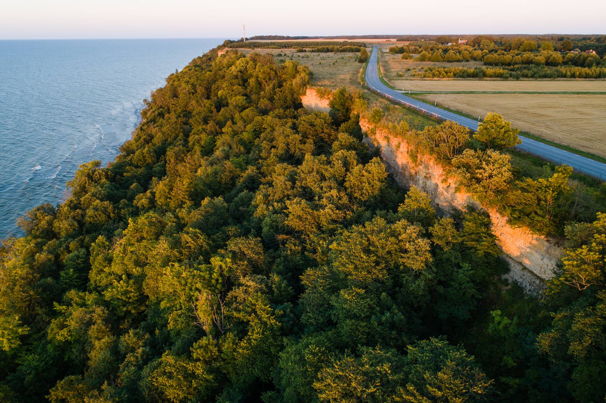
The Northern Estonian Klint is a coastal escarpment along the Gulf of Finland and Estonia’s most prominent natural landmark. It is part of the Baltic Klint, composed of various sedimentary rocks, with limestone forming its upper layers.
As you travel along Klint Road, you will witness the impressive scale and beauty of the limestone formations and learn about Estonia’s national stone – limestone.
Lahemaa National Park’s sustainable tourism approach has been recognized with the Europarc Federation Sustainable Tourism Certificate and the Global Green Destination Platinum Level. Lahemaa has been repeatedly listed among the top 100 sustainable destinations in the world, highlighting its commitment to sustainable development and responsible tourism.
In this article, we highlight accommodations and dining providers certified with Europarc or Green Key labels. Other service providers along Klint Road can be explored on the interactive map.

To hear exciting local stories along Klint Road, we recommend hiring a local guide.
1. Estonia’s Widest Waterfall – Jägala
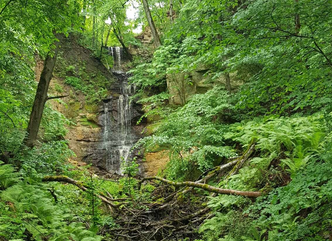
The first landmark of Klint Road is the spectacular Jägala Waterfall, which cascades 8 meters down the klint escarpment. It is Estonia’s widest natural waterfall, stretching over 50 meters.
Good to know: In winter, the waterfall transforms into a magical ice wall, with icicles forming fairy-tale tunnels.
2. The Oldest National Park in the Baltics – Lahemaa
Located on the edge of the klint, the ancient Muuksi Hillfort has historically been an important coastal watchpoint and lighthouse location, offering breathtaking views over Kolga Bay.
Welcome to Lahemaa, the oldest national park in the Baltics, where you can experience the characteristic nature and cultural heritage of Northern Estonia. The park is part of the Natura 2000 network and is one of Europe’s largest protected forest areas.
Good to know: Muuksi Hillfort is about 48 meters above sea level.

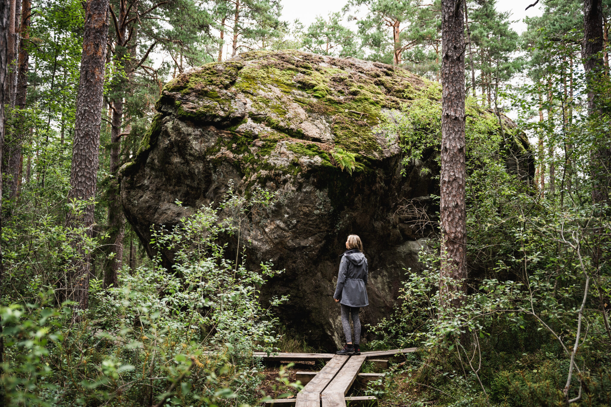
3. Estonia’s Third Largest Boulder – Majakivi
The Majakivi Boulder, Estonia’s third-largest glacial erratic, is surrounded by a 7-kilometer nature trail. This trail introduces ancient coastal formations, diverse bog types, and the forests of the Juminda Peninsula.
Good to know: A staircase next to Majakivi allows adventurous hikers to climb to the top of the boulder.
4. Estonia’s Northernmost Point – Purekkari Peninsula
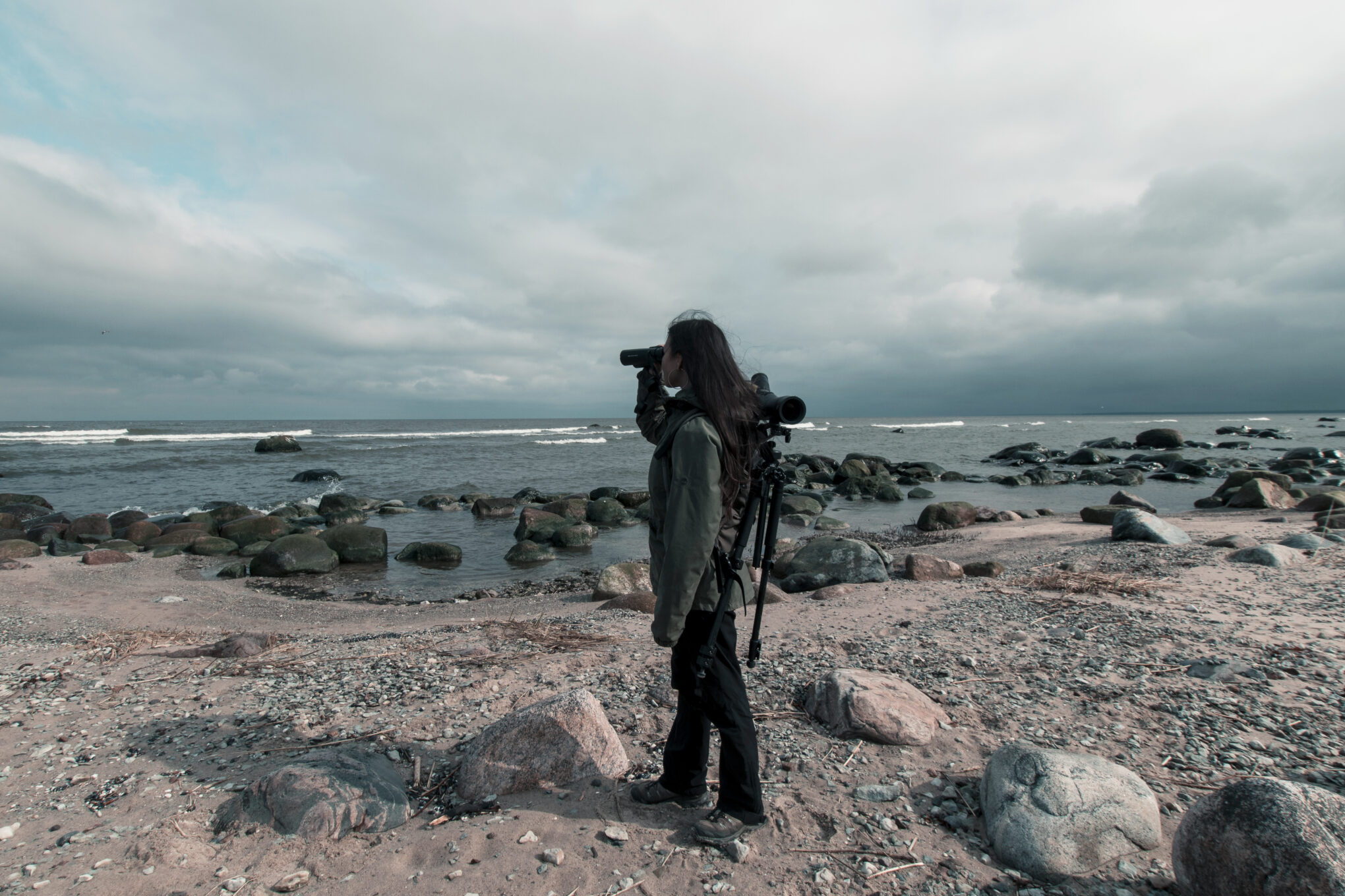
The 1.5 km long, rocky, and boulder-rich Purekkari Peninsula is Estonia’s northernmost mainland point. The peninsula ends with a small island, which is accessible only when water levels are low.
During the blooming season and autumn fruiting, spiky rugosa rose bushes catch the eye. In autumn, migratory birds make this a popular birdwatching spot.
Good to know: The road leading to the Purekkari parking area is narrow, and large buses cannot access it.
5. Europe’s Largest Boulders Field in Käsmu
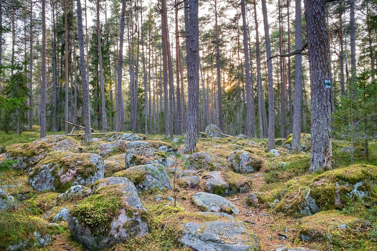
At the end of the historic Käsmu Captain’s Village, in a beautiful pine forest, lies Europe’s largest boulder field, covering 400 hectares. This area marks an ancient shoreline from 3,400 years ago, where glacial ice pushed large boulders onto the coast.
Good to know: The peninsula features several hiking and cycling trails of varying lengths.
Rohemärgisega teenusepakkujad:
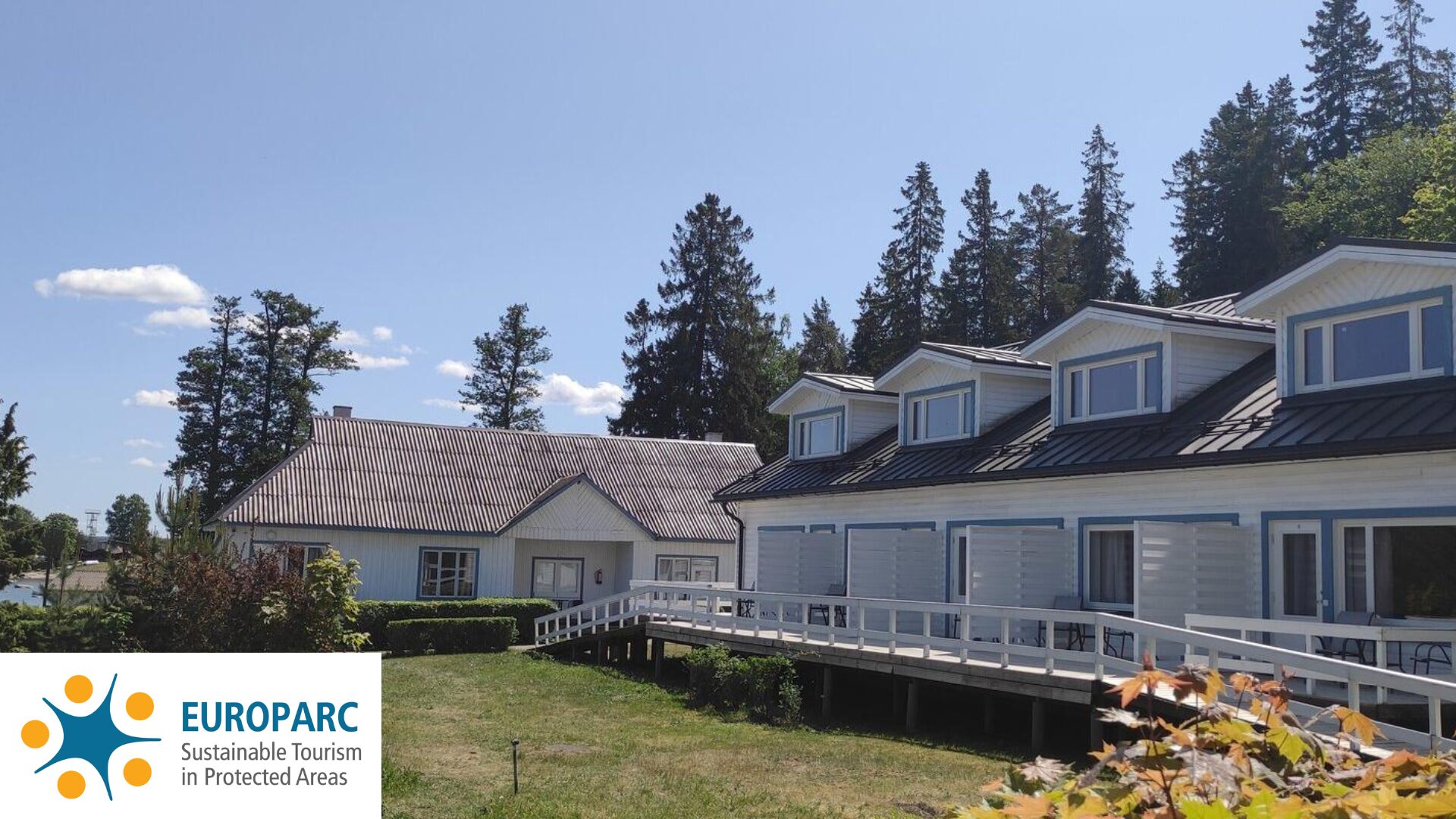
Lainela Puhkeküla
Europarc märgis

Wesenbeck Riverside Guesthouse
Europarc märgis
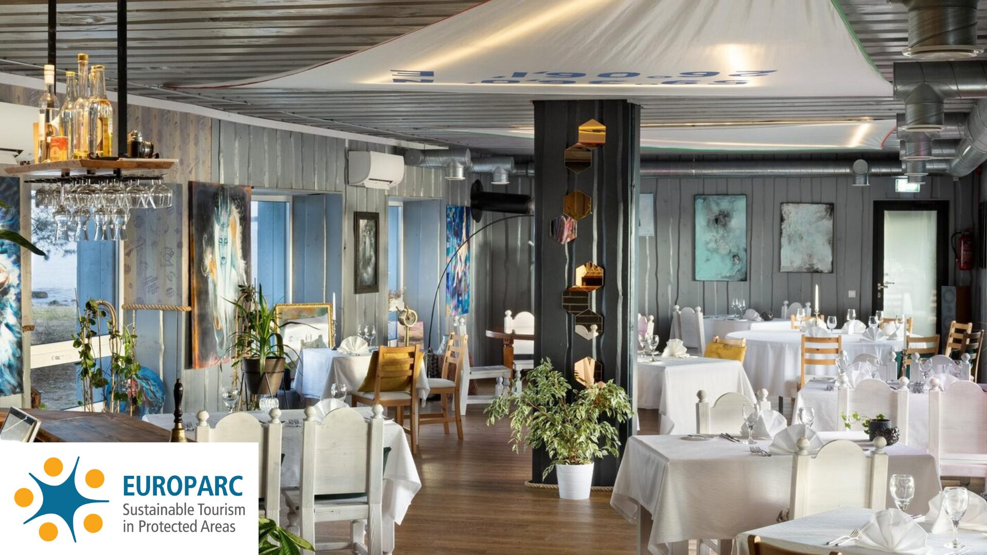
Wirkes’ restoran Vergi sadamas
Europarc märgis
6. Nature Trails Hub – Oandu
Oandu is a hub for nature trails—seven educational or hiking trails start from the surrounding area. A camping site is located by the riverbank.
At the Oandu Visitor Center, visitors can learn about the nature of Estonia’s oldest national park, Lahemaa, as well as hiking opportunities and the history of forest management and use throughout the ages.
Good to know: The visitor center complex includes several buildings from different eras, each housing one or more exhibitions. Visitors can also watch films and slide programs about nature and traditional forestry.
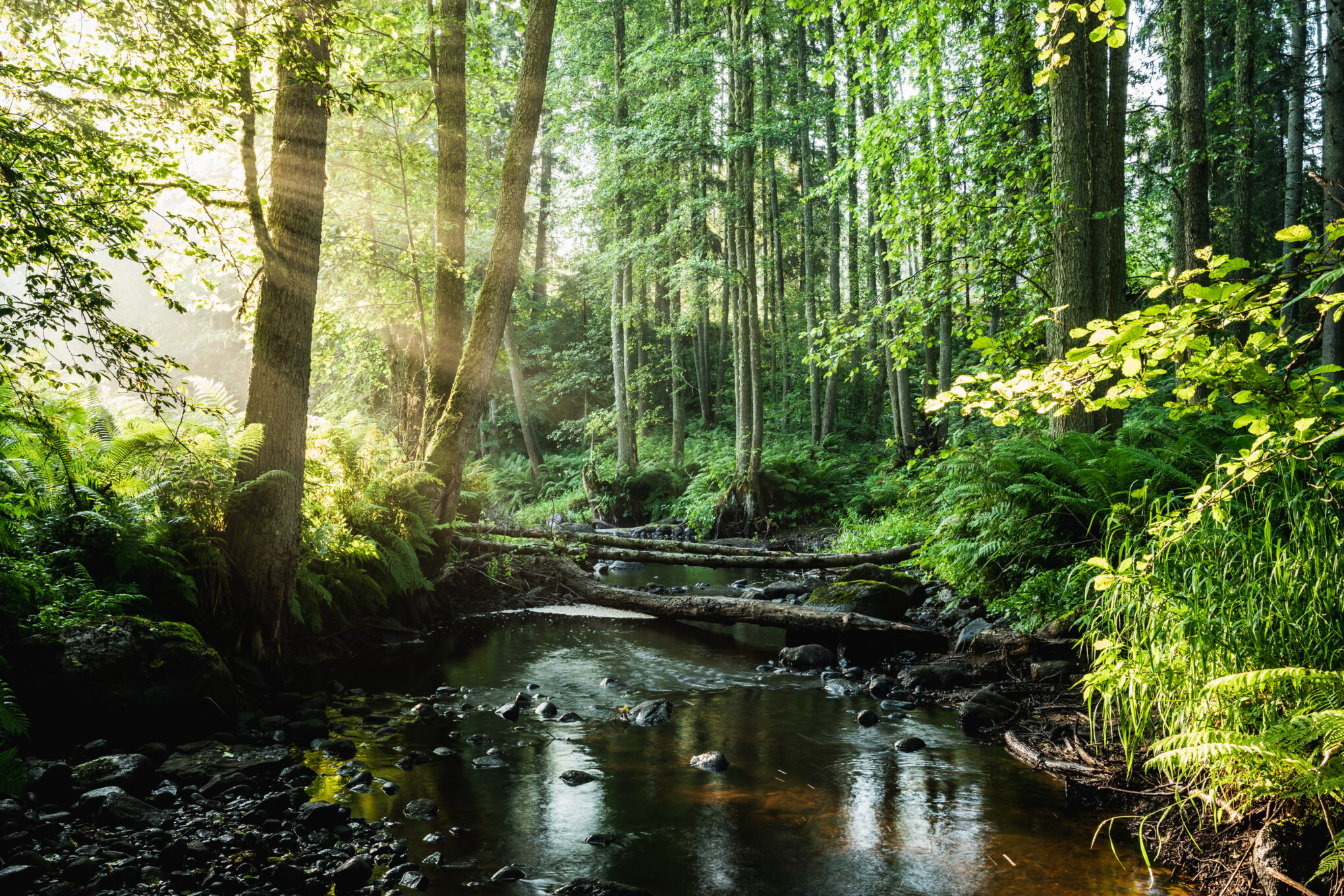
Oandust saab alguse 7 õppe- ja matkarada
7. Estonia’s Only Forest Museum – Sagadi
The Sagadi Manor complex is unique for its well-preserved collection of historical buildings, roads, alleys, parks, and ponds. Today, Sagadi has become a renowned center for environmental education, culture, and tourism, and it hosts Estonia’s only Forest Museum.
Good to know: The highest point of the klint between Sagadi and Vihula reaches up to 67 meters above sea level.
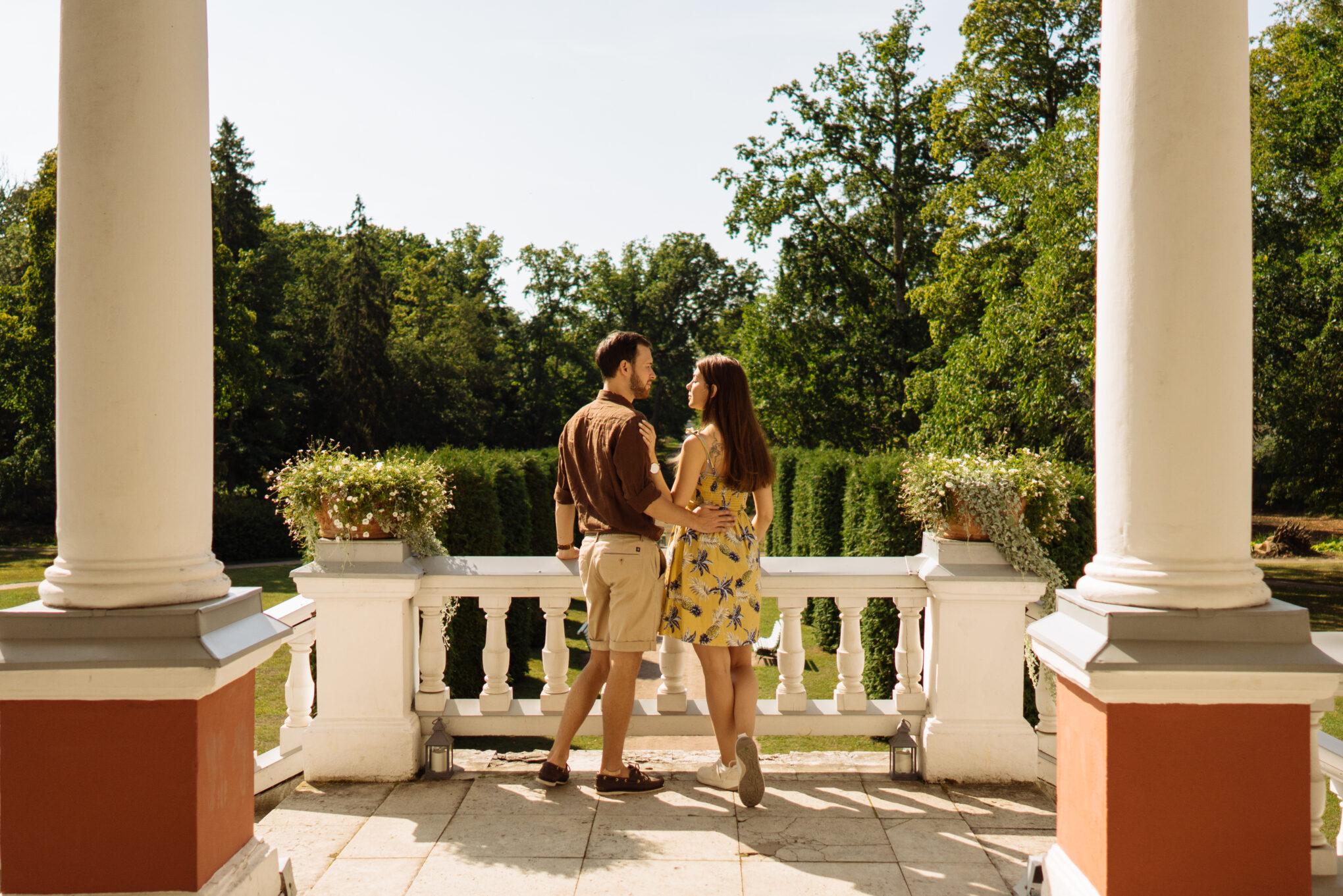
Rohemärgisega teenusepakkuja:
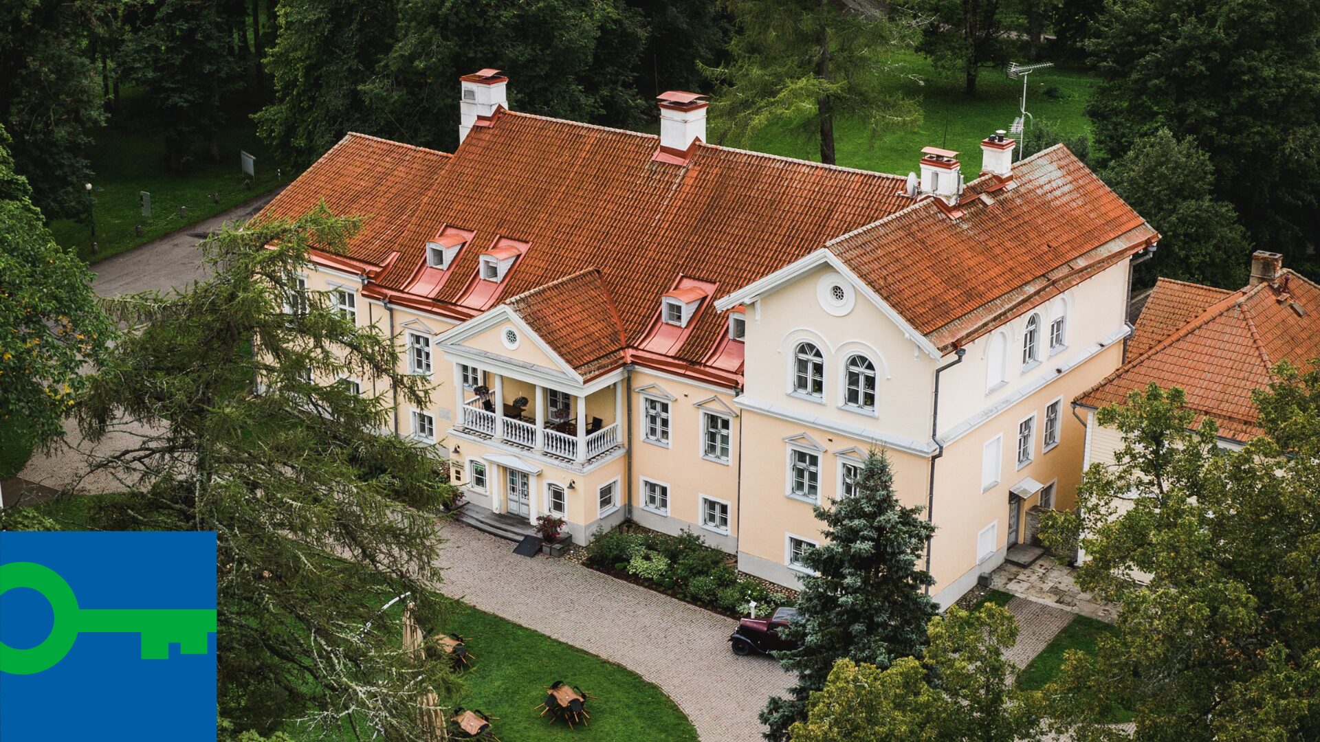
Vihula mõisa hotell & restoran Lahemaal
Green Key märgis
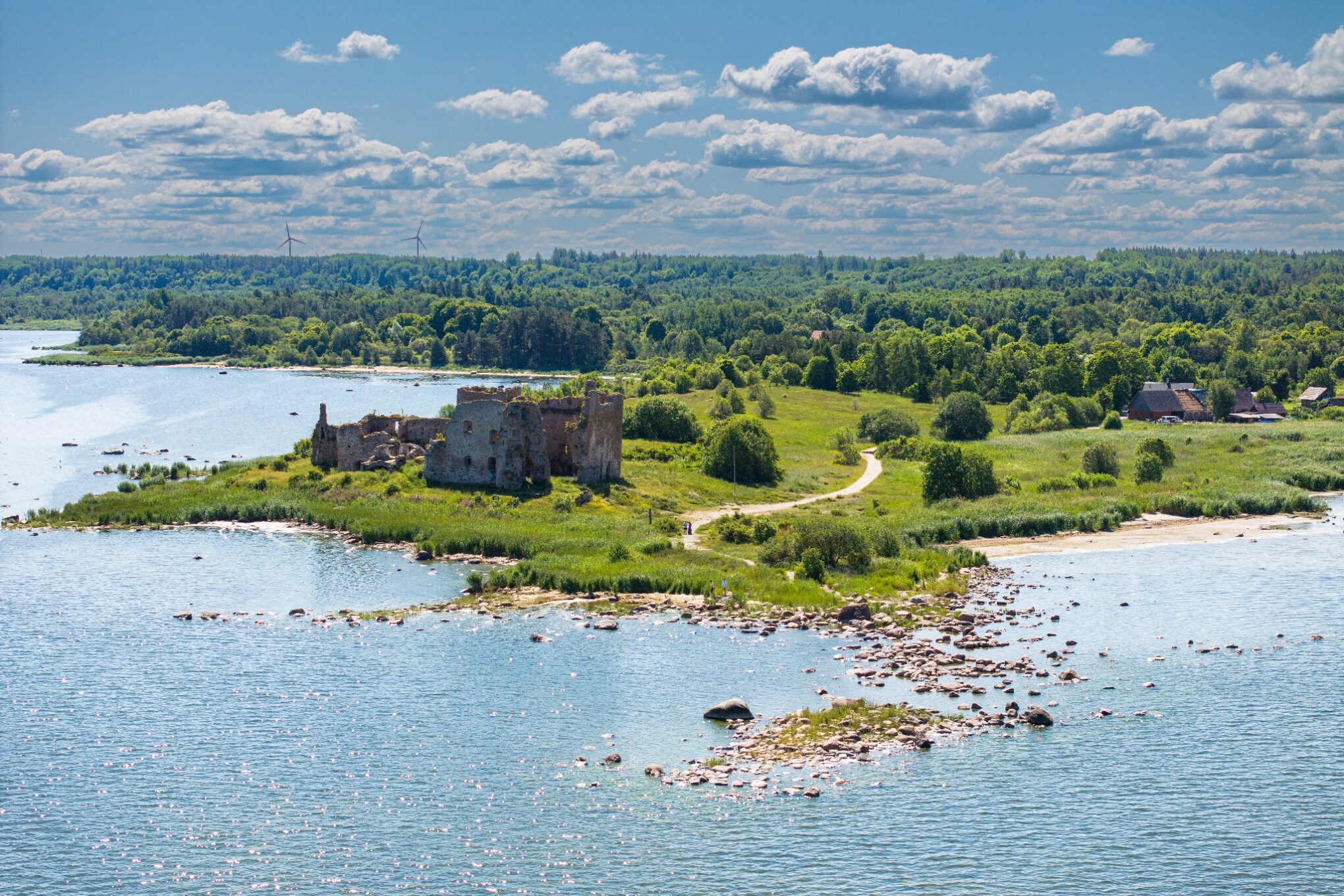
8. Estonia’s Northernmost Medieval Castle – Toolse
Toolse Order Castle is Estonia’s northernmost and youngest medieval order castle. The original wooden stronghold was likely built in the 14th century by the Order to protect the harbor, trading post, and roads.
Good to know: Toolse Castle offers spectacular views and is a perfect spot for enjoying nature and the sea.
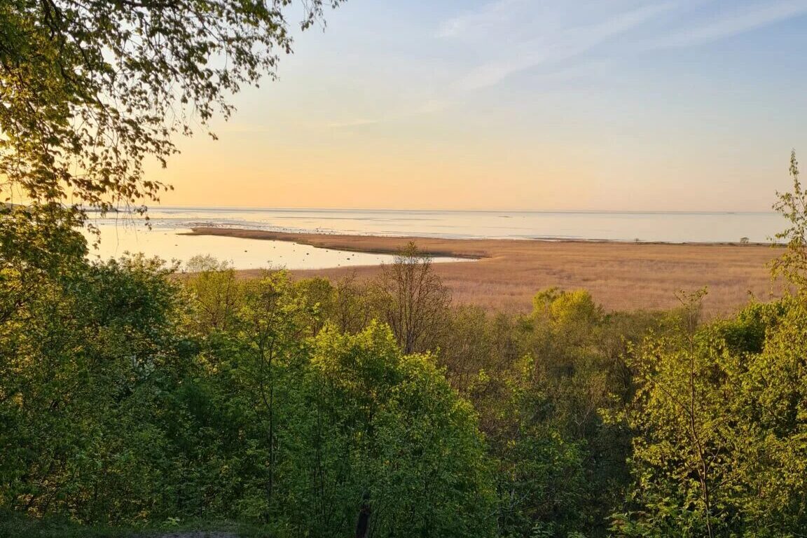
9. Lääne-Virumaa’s Highest Cliff – Kunda Kronkskallas
The tall and beautiful Kunda Kronkskallas is the highest cliff in Lääne-Virumaa. From a height of approximately 35 meters, it offers a stunning view of Kunda Bay.
Kunda is also home to Estonia’s only Cement Museum.
Good to know: Take the opportunity to explore Kunda with a local guide!
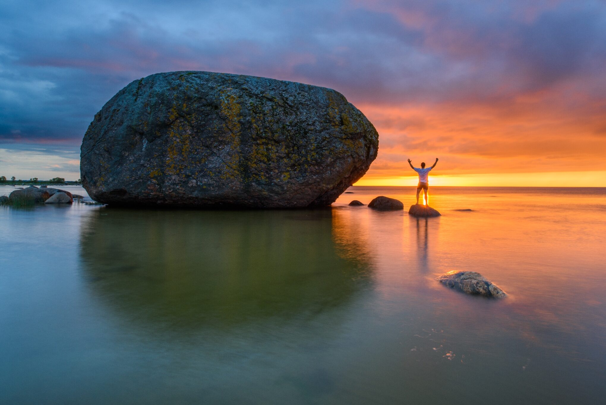
10. Estonia’s Largest Boulder – Ehalkivi
Near the coast of Letipea Peninsula, east of Kunda, stands Ehalkivi, a protected natural monument and the largest glacial erratic in Estonia. This massive boulder has a circumference of 49.6 meters and a height of 7.6 meters.
Good to know: The name “Ehalkivi” comes from the fact that the sun completely disappears behind it when setting.
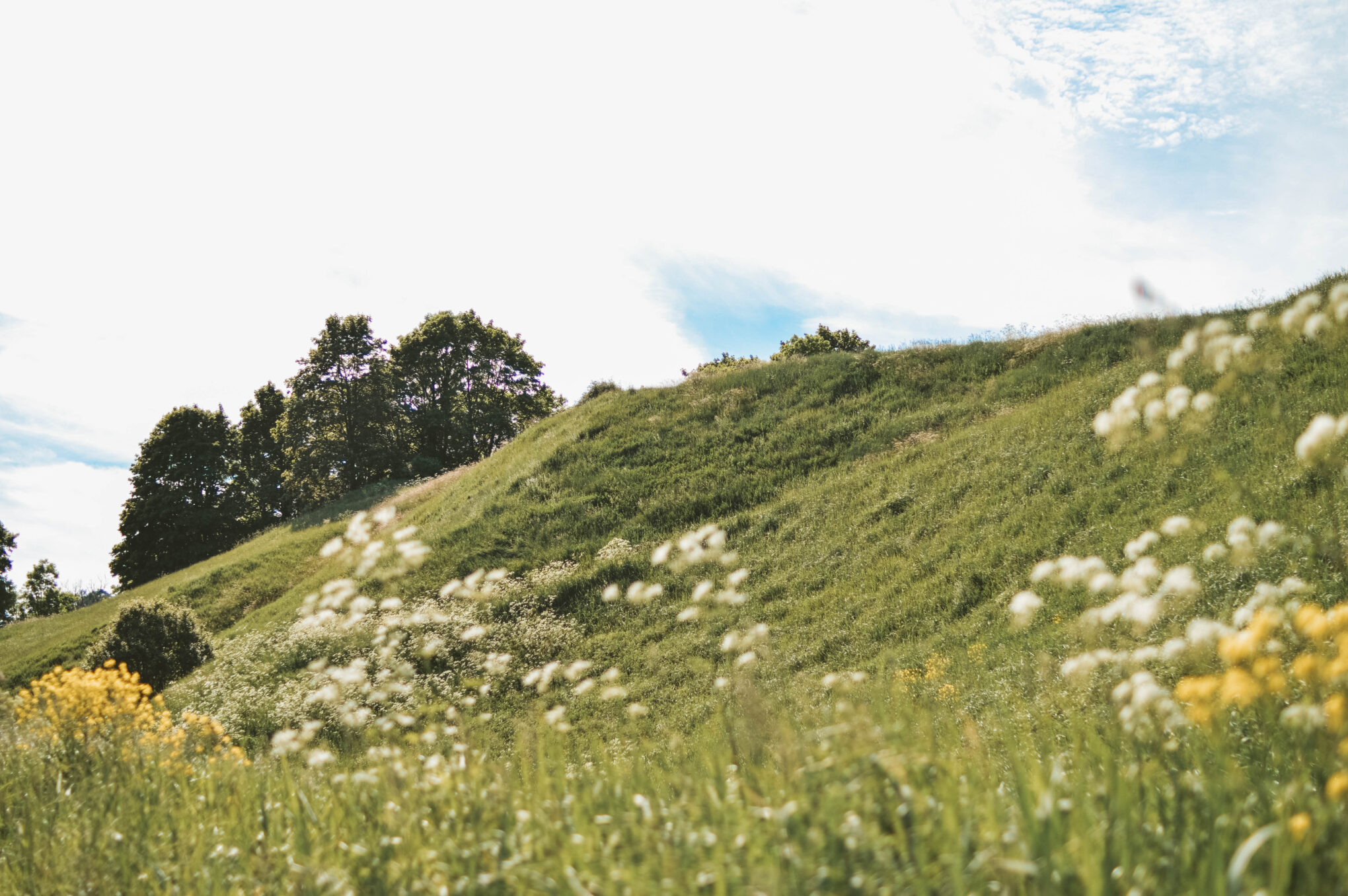
11. Stunning Views from Pada Fort Hill
Along the Tallinn-Narva highway, in Pada, you’ll find Suur Linnamägi (Big Fort Hill) and Väike Linnamägi (Small Fort Hill). From these ancient hill forts, breathtaking views of the surrounding landscape unfold.
Suur Linnamägi was once home to a mighty fortress over 2,000 years ago, serving as a key defense center for the entire region. Today, a reconstructed fortress gate (built in 1987) reminds visitors of its historical past, while on Väike Linnamägi, parts of the original outer wall remain.
Rohemärgisega teenusepakkujad:
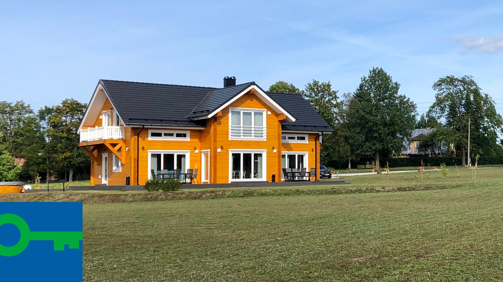
Karukella Puhkemaja
Green Key märgis
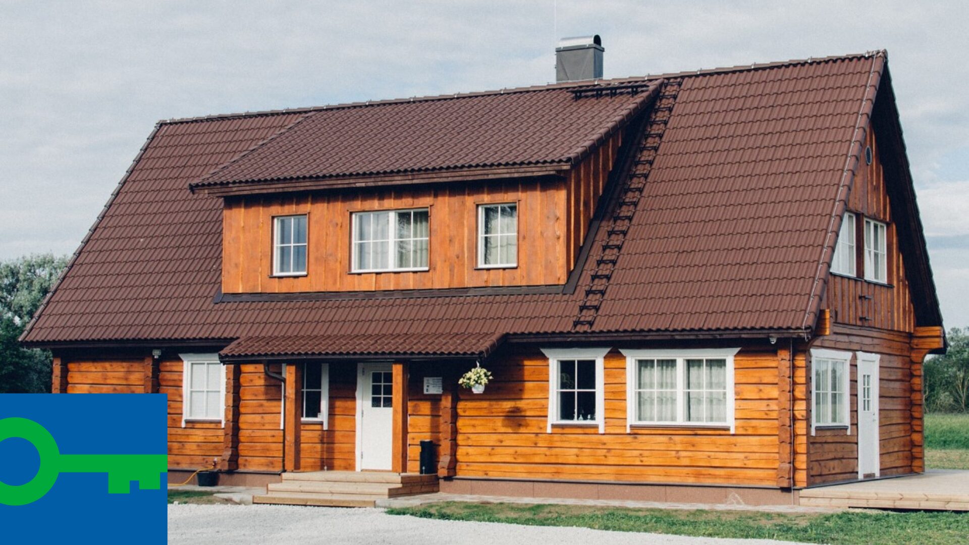
Rosi Puhkemaja
Green Key märgis
12. Estonia’s Second-Highest Waterfall – Kivisilla
At Saka Manor, a hidden gem of the North Estonian limestone cliff, you’ll find Kivisilla Waterfall—Estonia’s second-highest waterfall. The cliff from which it cascades is 53 meters above sea level, and the tiered waterfall drops over 20 meters down.
A trail leads from the waterfall to the sea, offering a unique adventure—especially in spring, when the waterfall is at its fullest, vegetation is lush, and the path feels like a jungle leading to the coast.
Good to know: Valaste Waterfall, Estonia’s highest waterfall, is just 10 km from Saka Manor.
Saka Mõisa park on üks mälestusmärkide rohkeim park Eestis.
13. Estonia’s Highest Waterfall at Valaste and the Ontika Cliff Coast
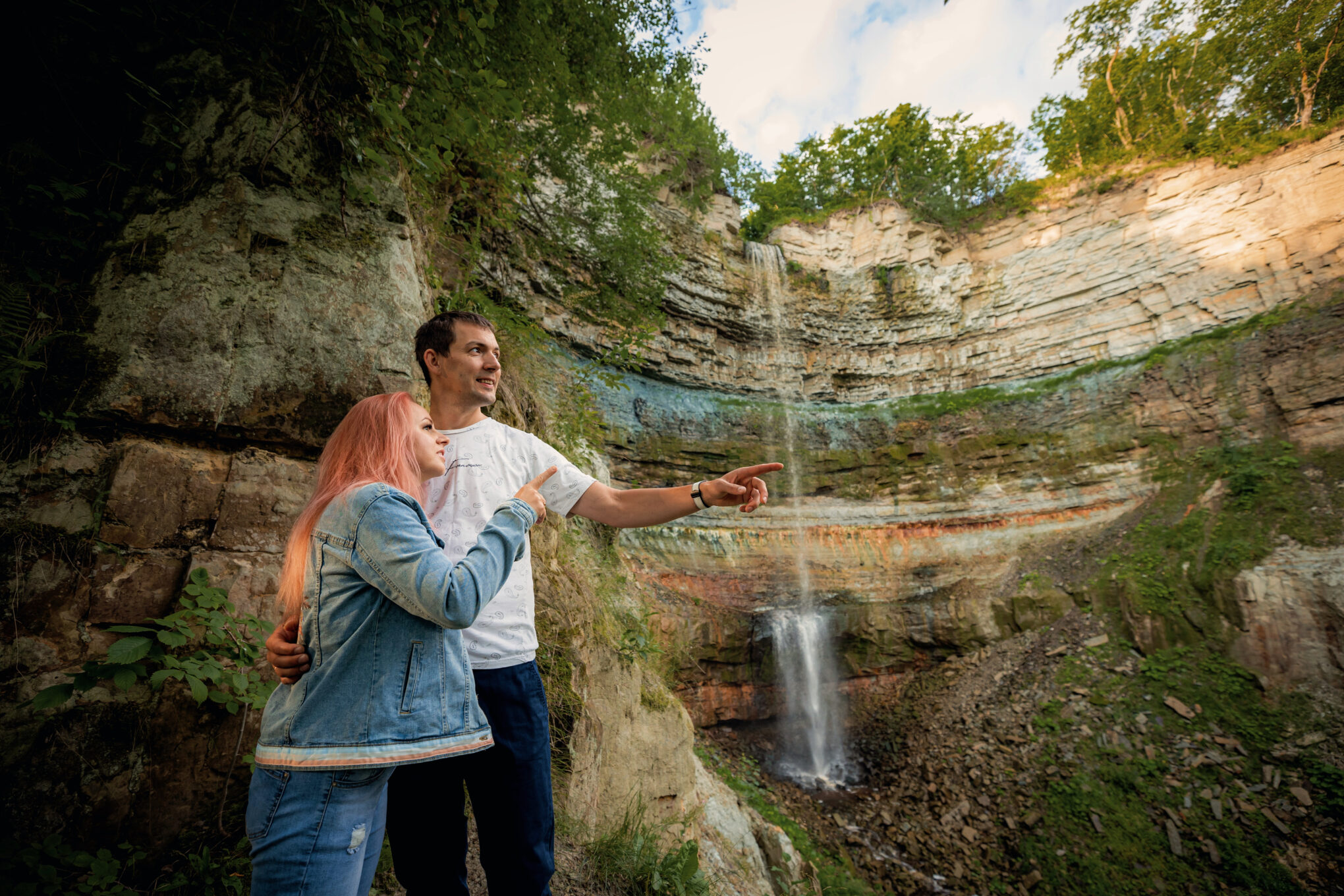
At Valaste, visitors are treated to a breathtaking view of the sea and a wild broadleaf cliff forest. The Valaste Waterfall offers the best view of the 480-million-year-old limestone cliff, showcasing its ancient layers. A staircase and boardwalk allow visitors to descend from the waterfall to the seashore.
With a 32-meter drop, Estonia’s highest waterfall is most powerful in spring and autumn, and in winter, when strong northern winds freeze the water, it transforms into a majestic ice palace. The coastal road along the Ontika Cliff is perfect for both hiking and cycling, and it’s worth stopping at Ontika itself, where the cliff reaches its highest point—55 meters above sea level.
💡 Good to know: A scenic 14 km coastal trail connects Valaste Waterfall to Oru Park.
14. Estonia’s First Presidential Summer Residence – Oru Park in Toila
One of Estonia’s most beautiful and largest parks, Oru Park, is located where the limestone cliff breaks, creating a natural passage to the sea.
Oru Park was home to Oru Palace, which served as the summer residence of Estonia’s first president, Konstantin Päts. Today, visitors can stroll through the rose-filled park, explore the Silver Spring Cave, and imagine President Päts enjoying tea at the “Swallow’s Nest” gazebo. The palace’s former grandeur can now be experienced through virtual reality.
Good to know: From Oru Park, it is 26 km to Martiska Lake in the Kurtna Lake District.
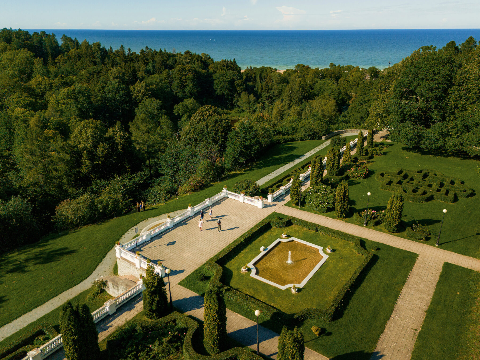
Oru pargis oli suursugune loss 54 toaga, mis oli Eesti esimese presidendi Konstatin Pätsi suveresidents.
15. The Cliffside City of Sillamäe and the Sinimäed Hills
Sillamäe is an excellent example of how nature and landscape shape urban planning and architecture. The town is built on a limestone cliff at a geological fault line, and this unique feature is reflected in its layout, particularly in the staircases descending from Mere Boulevard to the seaside, offering stunning views and a picturesque promenade. The stepped landscape is even represented in the Sillamäe city emblem.
Near Sillamäe lie the Sinimäed Hills, which, according to one hypothesis, were formed when glaciers tore sections from the cliff during the Ice Age and pushed them into ridges.
Good to know: It is 32 km from Sillamäe to Kurtna.
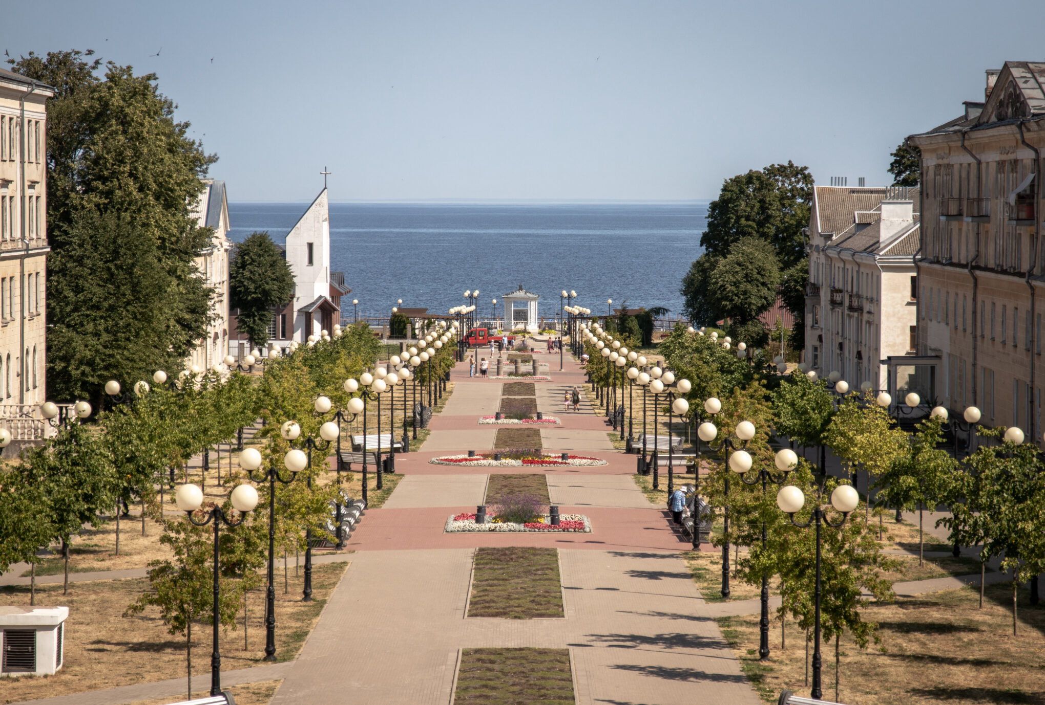
16. Estonia’s Largest Lake District – Kurtna
Kurtna is home to Estonia’s largest lake district, boasting 42 lakes within a 30 km² area. This diverse landscape features tall pine forests, rolling hills, and serene lakes. The region is also rich in berries and mushrooms, making it an ideal spot for nature lovers.
The best way to explore Kurtna is by hiking the Kurtna Trail, which passes 11 lakes and includes rest and campfire areas.
Good to know: From Kurtna, it’s worth heading 27 km south to Iisaku and Tärivere Hill. For an insightful guided hike, join the Alutaguse Hiking Club, where a guide will share fascinating stories about the formation of the Kurtna Lake District and the history of Alutaguse.

17. The Highest Natural Point in Ida-Virumaa – Iisaku Hill and Viewing Tower
Located in Alutaguse National Park, Iisaku Hill is one of the highest natural points in Ida-Virumaa. At the top of the hill stands a 28-meter-high viewing tower, offering panoramic views of the surrounding landscape. On clear days, visitors can see the towers of Kuremäe Monastery and even Lake Peipus.
At the foot of the hill, the Flying Squirrel Trail begins, winding through a forest that provides a rare habitat for these shy nocturnal animals—one of the few such habitats in Estonia.
Good to know: From Iisaku’s Tärivere Hill, it is 8 km to the starting point of the Katka Hiking Trail in Alliku.
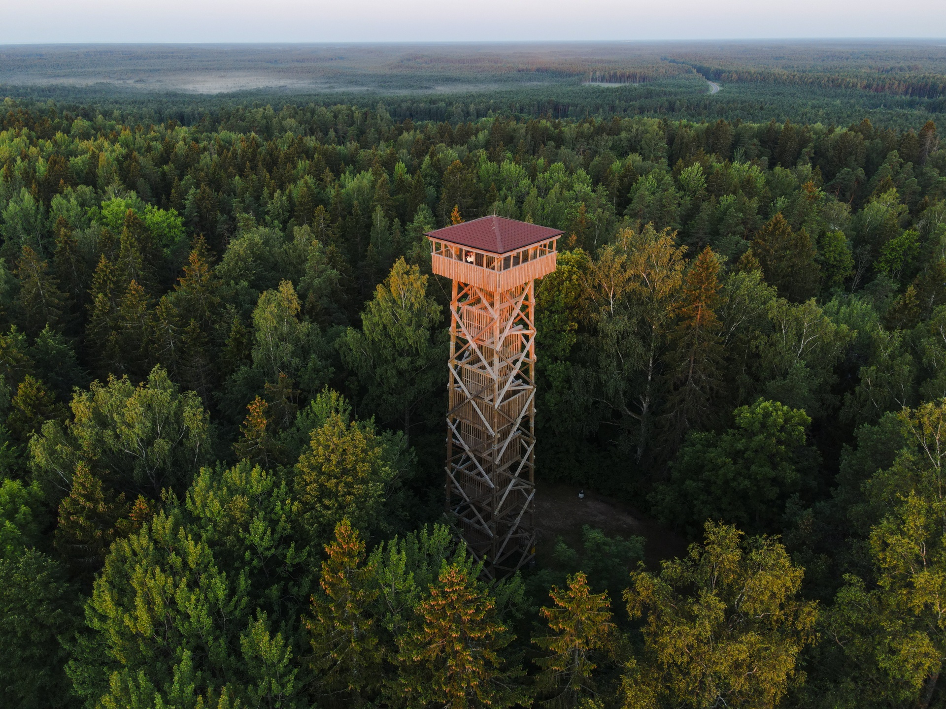
18. A Diverse Bog Trail – Kotka Hiking Trail
The Kotka Hiking Trail is a scenic and varied 6.7 km route, with an option to take a shorter loop. The trail introduces hikers to low and transitional bogs, as well as sandy ridges that were formed when Lake Peipus receded.
A boardwalk leads into the mysterious Rüütli Bog, where islands of dry land, created by glacial deposits at the end of the Ice Age, rise from the swamp. The sharp transition from sandy ridges to wet boglands makes this landscape unique in Ida-Virumaa.
Good to know: From Kotka Hiking Trail, it is 16 km to the Alutaguse National Park Visitor Center.
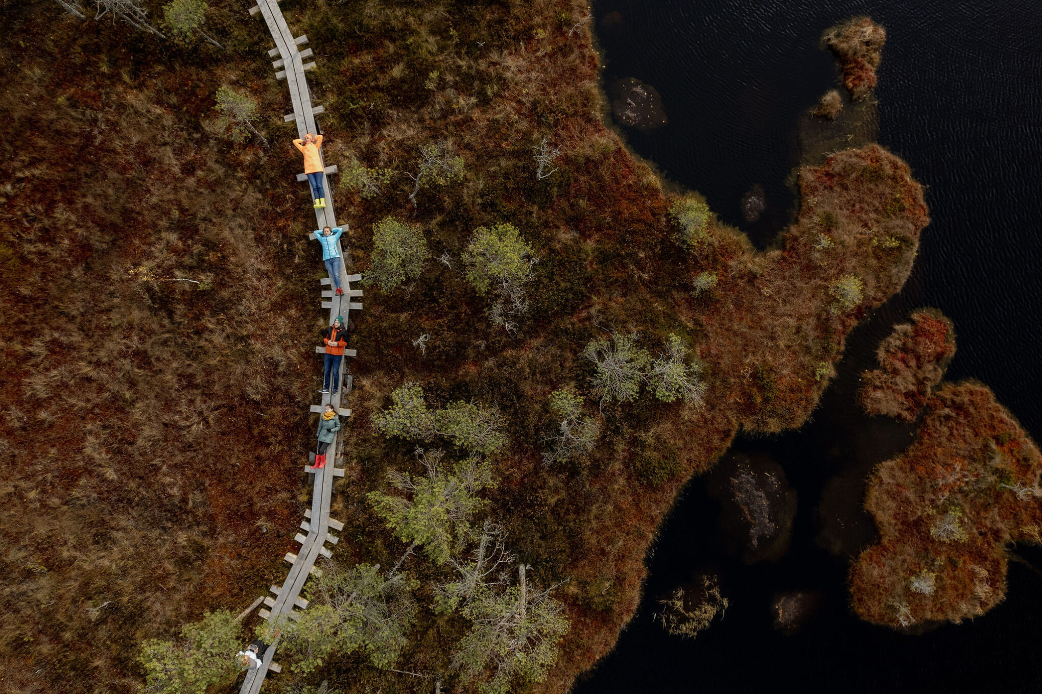
19. Estonia’s Youngest National Park – Alutaguse
Alutaguse National Park is Estonia’s youngest national park, featuring some of the country’s most pristine and ancient forests, reminiscent of the taiga. The park borders Lake Peipus with its long shoreline, the Narva River, and includes numerous lakes in Kurtna, perfect for swimming.
A unique feature of Alutaguse is its sand dunes known as kriivad—long, narrow ridges of sand that stretch like natural bridges through the bog and forest landscape. The park is also home to flying squirrels, one of Estonia’s rarest animals.
The Alutaguse National Park Visitor Center is located in Kauksi, where visitors can start the Dune Hiking Trail, which leads through the forest and down to the shores of Lake Peipus.
Good to know: The beach is just a 5-minute walk from the Alutaguse National Park Visitor Center. Keep in mind that during summer, parking at Kauksi Beach is paid.
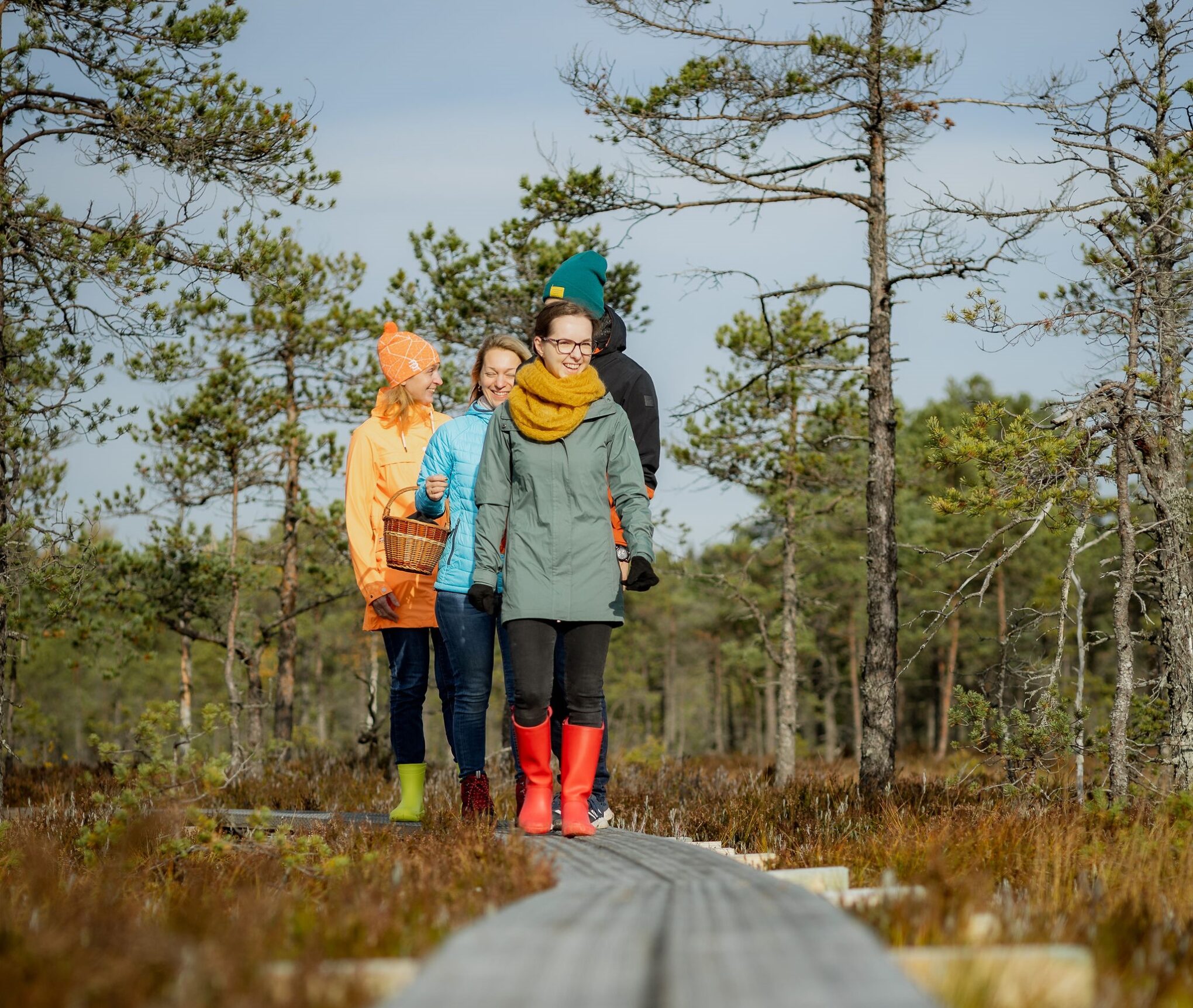
Alutaguse metsade karude populatsioon on suurem kui Alutaguse piirkonnas elavate inimeste arv.
20. Estonia’s Longest Sandy Beach – Kauksi
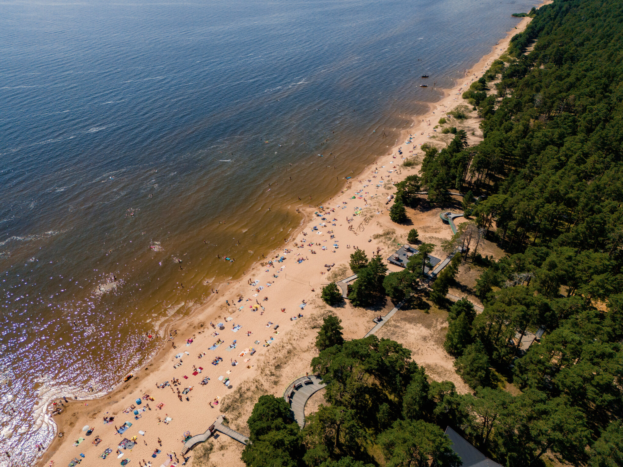
Stretching along the northern shore of Lake Peipus, Kauksi Beach boasts Estonia’s longest sandy beach—30 km of lakefront shoreline. It is one of the most popular beaches in Estonia, featuring a promenade, beachfront cafés, and soft singing sands that produce a gentle sound underfoot, a sign of Lake Peipus’s clean waters.
While Kauksi Beach is a summer hotspot, it offers a peaceful retreat in all seasons, making it a great destination for nature lovers year-round.
Good to know: From Kauksi Beach, it is 6 km to the Rannapungerja Lighthouse.
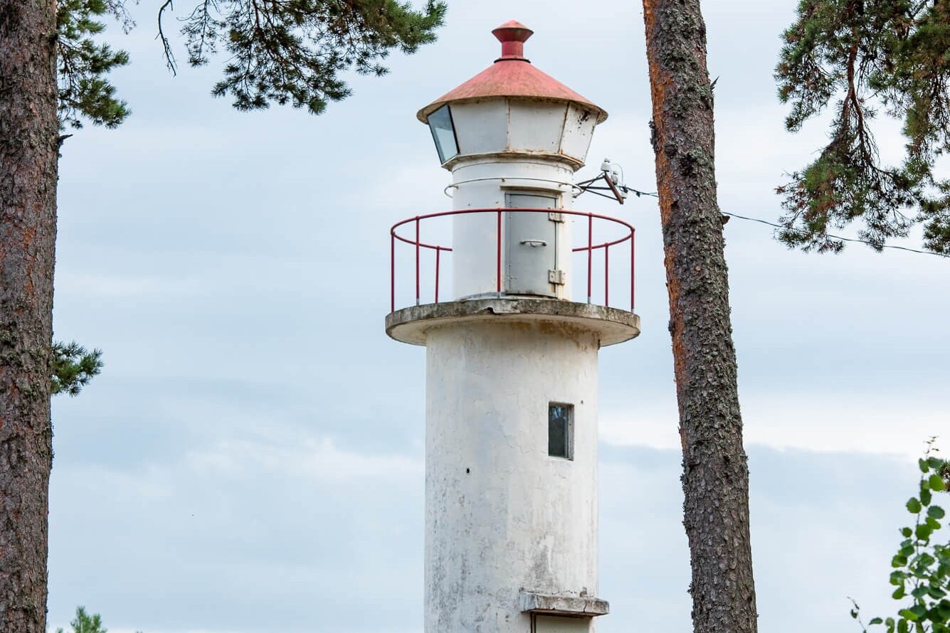
20. The Oldest Lighthouse in the Region – Rannapungerja
A landmark of Rannapungerja, this concrete lighthouse was built in 1934, replacing an earlier wooden beacon from 1923. It is one of the oldest continuously operating lighthouses on the shores of Lake Peipus.
At the base of the lighthouse, a wooden viewing platform offers a beautiful panoramic view of Lake Peipus and the surrounding coastal landscape.
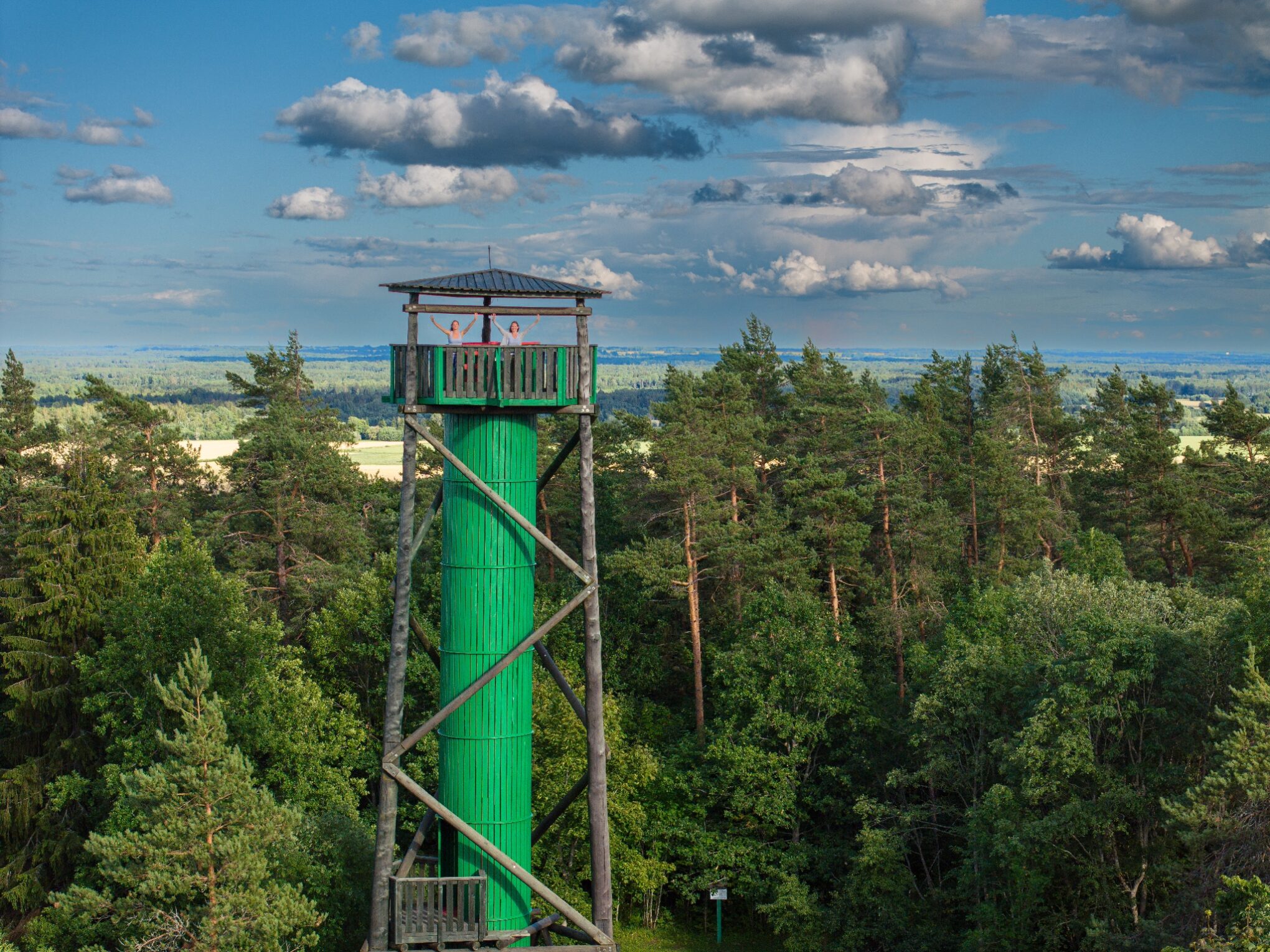
22. The Highest Peak in Northern Estonia – Emumägi
Emumägi is the highest point in Northern Estonia and the Pandivere Upland, standing at 166.5 meters above sea level and 80 meters from its base.
A viewing tower on Emumägi has 115 steps leading to a 21.5-meter-high platform, from which, on a clear day, visitors can see up to 20–30 km into the distance.
Good to know: Emumägi offers two low adventure courses, hiking trails of various lengths, and picnic shelters with benches and tables for relaxation.
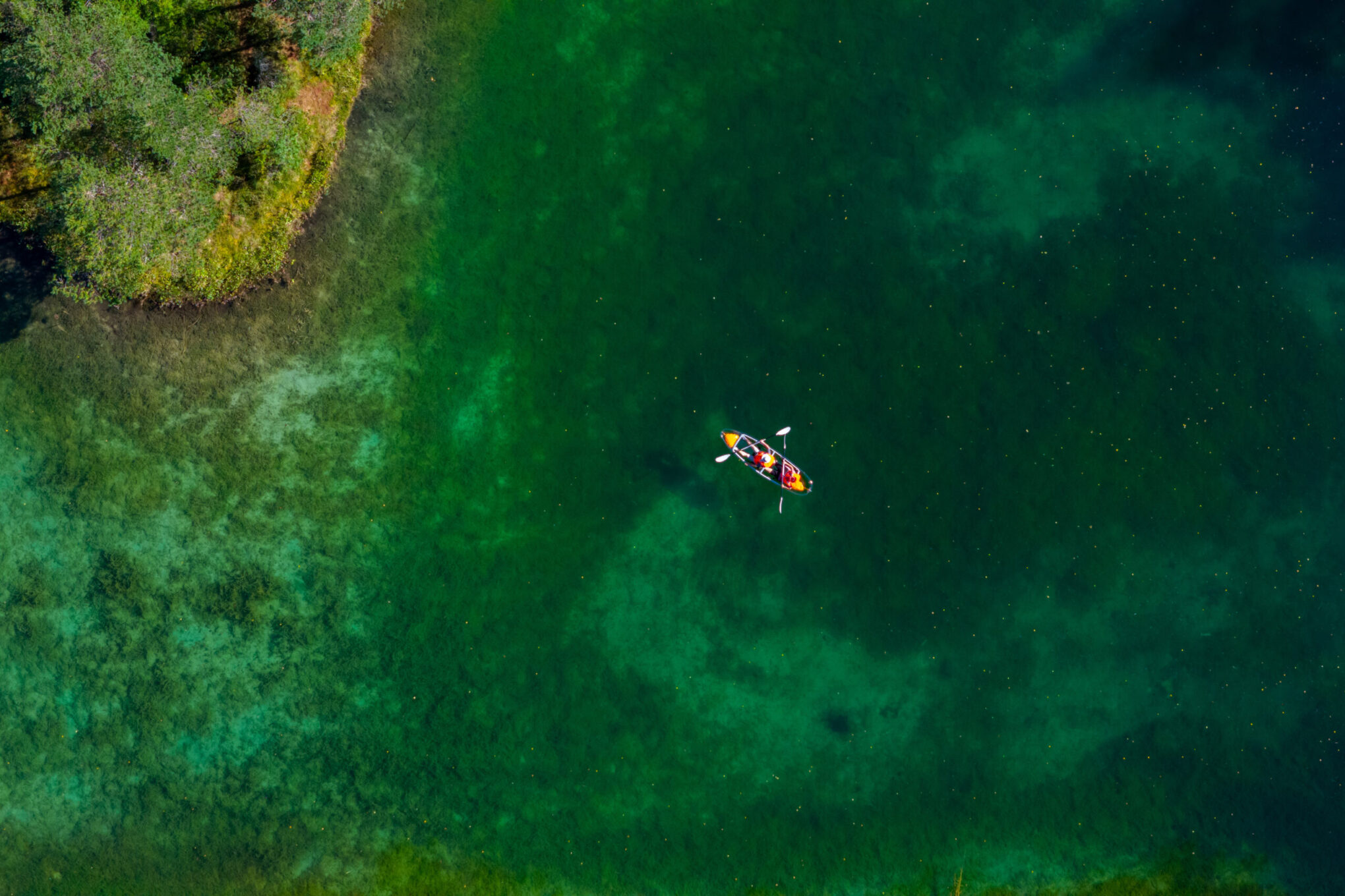
23. The Clearest Lake in Estonia – Äntu Sinijärv
Near Väike-Maarja, there are seven crystal-clear Äntu lakes. Among them, Äntu Sinijärv is Estonia’s clearest lake, with 15 meters of water transparency. The lake’s blue-green hue comes from the limestone covering its bottom.
Good to know: The Äntu Landscape Protection Area features a 10 km nature trail, offering diverse terrain and rich biodiversity.
24. Estonia’s Only Limestone Museum – Porkuni
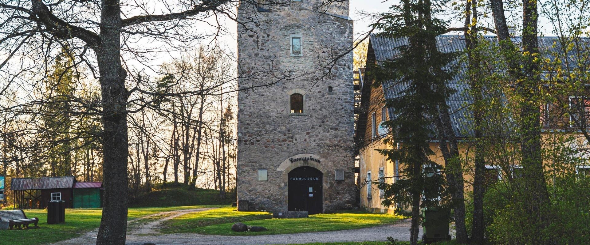
The Porkuni Limestone Museum is housed in a historic gate tower of a medieval bishop’s castle. The five-story museum provides a comprehensive overview of Estonia’s national stone – limestone.
Good to know: At the top of the tower, there is a viewing platform where visitors can enjoy panoramic views of Porkuni Lake, the manor complex, and the surrounding landscape.
25. Estonia’s Former Largest Lime Industry Site – Tamsalu Lime Park
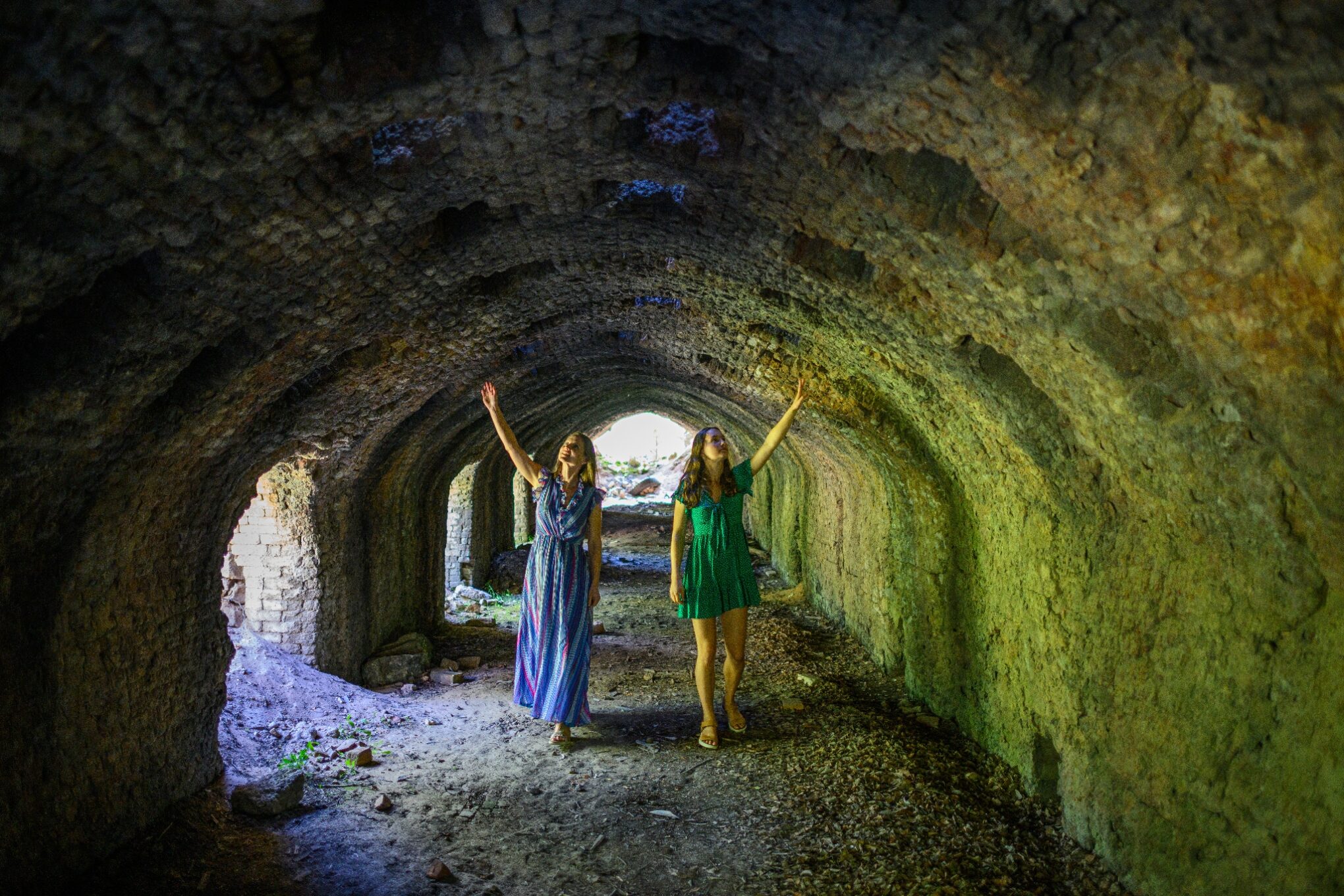
Tamsalu Lime Park is a heritage and nature site, where a former industrial landscape has been transformed into a tourist attraction. Lime production ceased here in 1980.
Good to know: An educational trail, equipped with information boards, allows visitors to explore various types of lime kilns, including huge ring kilns.
26. Estonia’s Hiking Capital – Aegviidu, Kõrvemaa
Aegviidu is known as Estonia’s hiking capital, nestled among the beautiful forests and lakes of Kõrvemaa. The area offers endless opportunities for outdoor activities in all seasons.
Good to know: Kõrvemaa is a hiker’s paradise. Find local service providers here: Visit Kõrvemaa

27. Estonia’s Largest Karst Area – Kostivere Karst Area
The Kostivere Karst Area is one of Estonia’s largest and most well-known protected natural landmarks. It is a popular destination for both locals and tourists, featuring unique landforms and the hidden Jõelähtme underground river.
Good to know: The karst area is fascinating to explore in different seasons, and guided tours by certified local guides are available.
